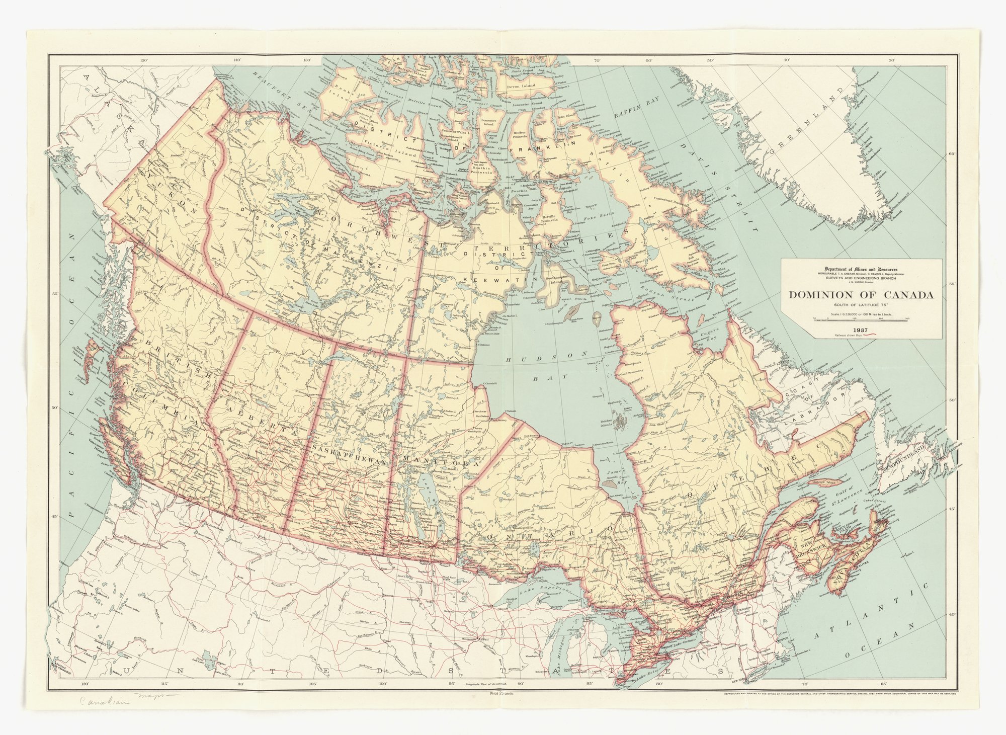
Dominion of Canada (map, Department of Mines and Resources)
A colour wall map of Canada south of latitude 75 degrees, with provinces and territories outlined, railways in red and a title block naming the Department of Mines and Resources. It carries no slogan or appeal; it is an official reference map. The technique tag is the closest fit only: like any map it shows a selected set of features (boundaries, railways, place names) as the issuing department defined them.
Propaganda techniques used in this document
- Date
- 1937
- Period
- Interwar
- Made by
- Department of Mines and Resources, Surveys and Engineering Branch (Minister T. A. Crerar), Ottawa
- Region
- North America
- Country
- Canada
- Medium
- Document
- Issuer type
- State
- Regime
- Mackenzie King Government
- Leader
- William Lyon Mackenzie King
- Audience
- Domestic public
- Purpose
- Warn or inform
- Theme
- Science and technology
- Event
- World War II
- Source
- Identified Openly sourced: the speaker is who they say they are
- Source
- U.S. National Archives and Records Administration, Record Group 44, World War II Foreign Posters, retrieved October 3, 2026
- Rights
- Public domain (Canadian Crown copyright, published 1937, 50 years expired; no URAA restoration)
Department of Mines and Resources, Canada. National Archives and Records Administration, 44-PF-600.
Text on the object
Department of Mines and Resources
HONOURABLE T. A. CRERAR, Minister; C. CAMSELL, Deputy Minister
SURVEYS AND ENGINEERING BRANCH
J. M. WARDLE, Director
DOMINION OF CANADA
SOUTH OF LATITUDE 75°
Scale 1:6,336,000 or 100 Miles to 1 inch.
1937
Railways shown thus
Price 25 cents
REPRODUCED AND PRINTED AT THE OFFICE OF THE SURVEYOR GENERAL AND CHIEF, HYDROGRAPHIC SERVICE, OTTAWA, 1937, FROM WHICH ADDITIONAL COPIES OF THIS MAP MAY BE OBTAINED
[Map labels include: Yukon, Northwest Territories, District of Mackenzie, District of Keewatin, District of Franklin, British Columbia, Alberta, Saskatchewan, Manitoba, Ontario, Quebec, New Brunswick, Nova Scotia, Prince Edward Island, Newfoundland, Coast of Labrador, Hudson Bay; handwritten: Canadian maps]