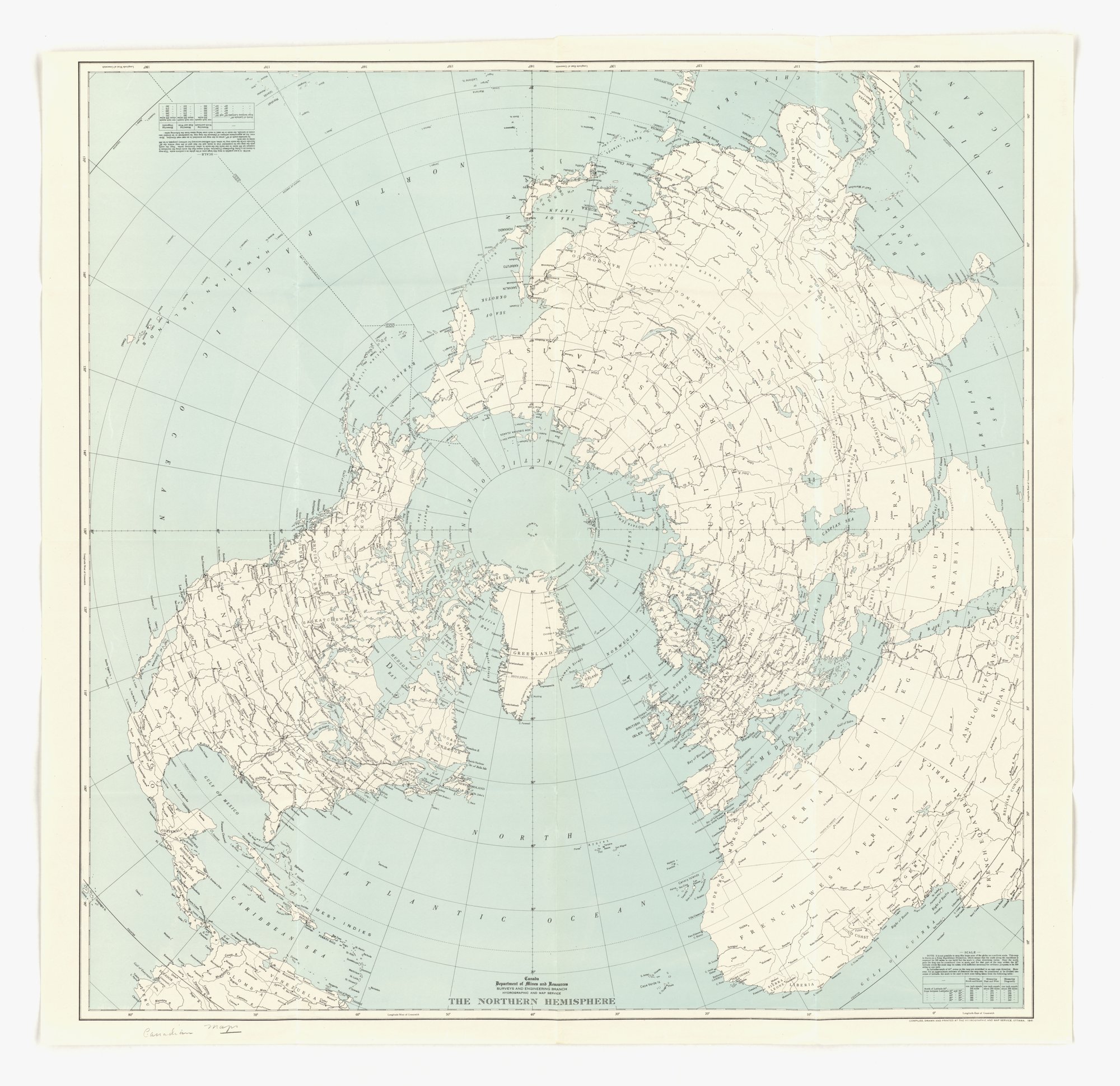
The Northern Hemisphere
A reference map of the Northern Hemisphere on a polar projection, with the North Pole at the centre and Canada, Greenland, Europe, Asia and Africa labelled. It carries no slogan or appeal; the tag card-stacking is the closest fit only because any map selects a viewpoint and a set of features, not because the sheet makes a persuasive claim.
Propaganda techniques used in this other
- Date
- 1941
- Period
- Second World War
- Made by
- Department of Mines and Resources, Surveys and Engineering Branch, Hydrographic and Map Service, Ottawa
- Region
- North America
- Country
- Canada
- Medium
- Other
- Issuer type
- State
- Regime
- Mackenzie King Government
- Leader
- William Lyon Mackenzie King
- Audience
- Domestic public
- Purpose
- Warn or inform
- Themes
- Science and technology, War and the military
- Event
- World War II
- Source
- Identified Openly sourced: the speaker is who they say they are
- Source
- U.S. National Archives and Records Administration, Record Group 44, World War II Foreign Posters, retrieved October 3, 2026
- Rights
- Held by NARA, Unrestricted; hosted by owner decision (no imprint visible, 1939-1945 Canadian-context poster)
Department of Mines and Resources, Surveys and Engineering Branch, Hydrographic and Map Service, Ottawa, National Archives and Records Administration, 44-PF-691.
Text on the object
Canada
Department of Mines and Resources
SURVEYS AND ENGINEERING BRANCH
HYDROGRAPHIC AND MAP SERVICE
THE NORTHERN HEMISPHERE
COMPILED, DRAWN AND PRINTED AT THE HYDROGRAPHIC AND MAP SERVICE, OTTAWA, 1941
[pencil note:] Canadian Maps
[map place names not transcribed]